Transportation in Istanbul: Everything you need to know
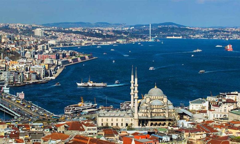
One of the best ways to get to know a city is to use public transportation. It gives a feeling of living there and adds an air of authenticity. Istanbul is a busy city, and traffic can be crowded, so planning your journey is important. As in every cosmopolitan city, there are peak times for traffic, and these are best avoided if possible. If you’re taking your own car, there are parking places all over the city, including the Ispark service offered by the municipality. Still, we recommend you get a map.
1. Airports
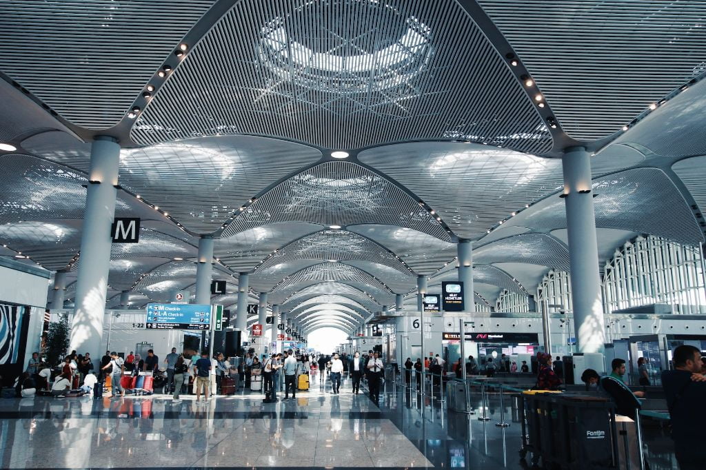
There are shuttle services from airports to the city. Istanbul is served by two airports; Sabiha Gökçen International Airport on the Anatolian side and the Istanbul Airport on the European side. You can see the locations on your Istanbul map. When planning your flights to Istanbul, consider your visit plan and choose the right airport.
If you are more than 4 people on your way to and from the airport, you can also try airport transfers, which is a very comfortable option.
İstanbul Airport Public Transportation
You can reach Yenikapi, Marmara Park, Bus Terminal, Bakırköy, Güneşli, Beşiktaş, Kadıköy, Pendik, Avcılar, Bahçesehir, Halkali, Basaksehir, Taksim and Sultanahmet using HAVAIST services departing from Istanbul Airport. You can find the service you need to use for transfer from the airport to your hotel and the fee you need to pay on the website. Some of the most used routes from Istanbul new airport and their details are as follows;
HVİST-14- Istanbul Airport to Taksim
Total route time: 90 minutes
Stations: Istanbul airport – 4.Levent – Zincirlikuyu Metrobus – Beşiktaş Square – Taksim
Distance: 48 km
Price: €4
HVİST-9 Istanbul Airport to Kadıköy
Total route time: 120 minutes
Stations: Istanbul airport – Kavacık – Tepeüstü – Yenisahra – Acıbadem Metro – Kadıköy
Distance: 75 km
Price: 32 ₺
For more information about the routes, stations, and voyages from Istanbul Airport, you can visit HAVAIST’s website.
Istanbul Airport to Besiktas by metro is not available yet. (September 2022)
More Information
Location of Istanbul Airport: View on Google Maps
Location of HAVAIST near Airport: View on Google Maps
Phone Number: :444 1 442
Website: istairport.com
Sabiha Gökçen Airport
When you land at Sabiha Gökçen Airport, you can reach Kadıköy or Taksim by HAVAIST buses. HAVAIST services are available between 04:00 and 01:00. HAVAIST shuttle departing from Sabiha Gökçen Airport stops at Kavacık, FSM Bridge, 1st Levent, Zincirlikuyu Metrobus, Dolapdere and terminates at Taksim. The shuttle to Kadikoy departs from Sabiha Gokcen Airport and Tem Connection Road, and passes through Yeni Sahra to Kadikoy. HAVAIST services are chargeable. If your visit is for a short business trip, you may prefer Istanbul airport hotels.
Taksim to Sabiha Gökçen Airport HAVAIST Transportation
Departure Point in Taksim: Gezi Park Metro Exit
Total route time: Approx. 90 minutes
Stations: Sabiha Gökçen Airport – Tem Access Road – Bosphorus Bridge – Beşiktaş – Taksim
Ticket Price: €4 ₺
Kadıköy to Sabiha Gökçen Airport HAVAIST Transportation
Departure Point in Kadıköy: Kadıköy Rıhtım İETT Bus Stops
Total route time: Approx. 60 minutes
Stations: Sabiha Gökçen Airport – Tem Access Road – Yeni Sahra – Kadıköy
Ticket Price: €3 ₺
For more information about the routes, stations, and voyage, you can visit HAVAIST’s website.
More Information
Location: View on Google Maps
Whatsapp: +90-534-500-79-43
Website: sabihagokcen.aero
Foursquare: View
2. Metro
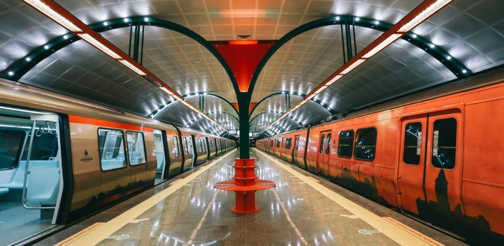
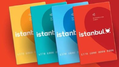
There are 7 Metro lines in Istanbul, and the cheapest way to use them is to buy an Istanbulkart. In 2016, Istanbulkart was chosen as “The best transportation card in the world” at the “Transport Ticketing & Passenger Information Global Awards” held in the UK. Istanbulkart can be purchased from Metro stations, bus stops or tram stations. You need to charge your card from the prepay machines for Metro Istanbul. You can pay in cash in TL. The machines don’t accept coins and are often short of change so you can find yourself being short-changed if you use these! You can also fill up your card by prepaying at various places displaying the Istanbulkart sign. In such places, we recommend that you pay in cash and in TL. When you make line transfers within the Metro, you get a discount on the first two lines.
For more detailed information about Istanbulkart, see our article about public transportation in Istanbul as well as the Istanbul public transportation tips.
You can also get your Istanbul transportation card from this link (travel agency link) and have it sent to your accommodation.
Here is some information about the Istanbul metro.
European Side
M1A: Runs between Yenikapı and Atatürk Airport. If you want to reach Istanbul Fair Centre, you should use this line. Total route time: 26 minutes
M1B: Runs between Yenikapı and Kirazlı. Total route time: 22 minutes
M2: Runs between Yenikapı and Hacıosman. This line passes through Taksim. You can use this line if you want to pass from Taksim to Golden Horn. If you want to see the shores of Istanbul that opens to the Black Sea, you can use this line. Total route time: 33 minutes
M6: Levent – Boğaziçi University – Hisarüstü metro line. If you want to go to Etiler, you should transfer from Levent to this metro line. Total route time: 6 minutes
Anatolian Side
M3: Kirazli – Olimpiyat – Başakşehir Metro Line Total route time: 20 minutes
M4: Kadıköy – Tavşantepe Metro Line. If you reach Pendik from Sabiha Gökçen Airport, you can take the Metro line from Pendik Station to Kadıköy. Total route time: 38 minutes
M5: Runs between Üsküdar and Çekmeköy. Total route times: 32 minutes
For detailed information about the Metro lines (metro map), click here. We recommend you get an Istanbul Metro Lines Map.
More Information
Open Hours: 06:00-00:00
Website: metro.istanbul
3. Marmaray
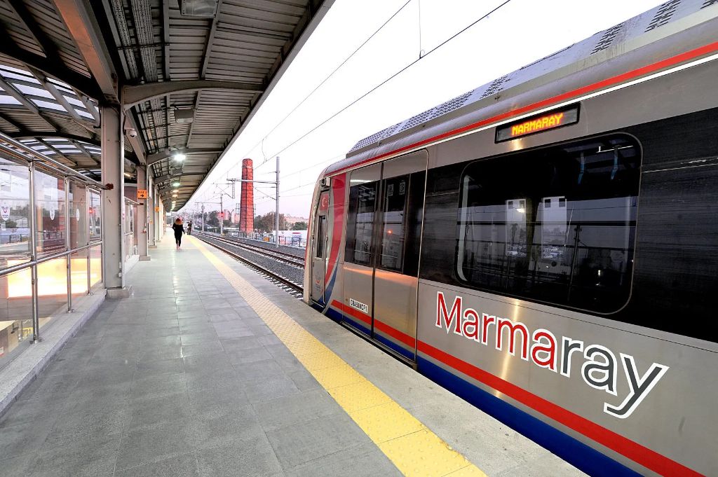
The Metro line that connects the two ends of Istanbul and connects Anatolia and Europe by going under the sea is called Marmaray. You can travel from Halkalı to Gebze and from Pendik to Ataköy by using Marmaray. Regional train lines were merged into Marmaray Railway Line.
Istanbul Metro Map (Including Marmaray)
More Information
Open Hours: 06:00 – 00:00
Phone Number: 444 82 33
Website: marmaray.gov.tr
4. Tram
Trams are also available for transportation in Istanbul. Depending on where you want to visit you may consider using the tram lines among various transportation options. The list of tram routes and a complete map is available at Istanbul Tram Lines Map in this link. The tram you see in the photo above is the nostalgic tram in Taksim.
European Side
T1: You can reach the most visited areas of old Istanbul such as Karaköy, Eminönü, Sirkeci, Gülhane, Sultanahmet, Beyazıt while soaking up the scenery on your journey, starting from Kabataş by Kabataş – Bağcılar Istanbul tram line. If you’re coming from Taksim, you can get to the first station of the tram using Taksim – Kabataş funicular line. Total route time is 1 hour 2 minutes.
T4: You can reach Topkapı and Edirnekapı regions via Topkapı – Mescid-i Selam tram line. Using this whole route takes approximately 32 minutes.
Anatolian Side
T3: Kadıköy – Moda tram line is the line that provides transportation between Kadıköy and Moda. Your journey, starting from the İskele Camii stop, continues until Kadıköy İDO. For a pleasant trip between Kadıköy and Moda, we recommend this line. Total route time for this tram line is 20 minutes.
More Information
All tram lines: metro.istanbul
5. Bus
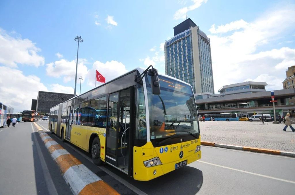
Buses are available using your Istanbulkart. Bus routes cover all areas of Istanbul, but you should try to avoid using them between 08:00 and 09:30 in the morning and between 17:00 and 18:30 in the evening as they can get very crowded. If you’re travelling by bus, you can use İETT’s website to find the best route. You can also download MOBIETT from this link to learn more about voyage and track the bus you are waiting for.
More Information
Website: iett.istanbul
6. Taxi
To use a taxi in Istanbul, you must download one of the Istanbul taxi apps or take a taxi from the taxi stand. When you arrive at the taxi stand, tell the driver where you want to go. Taking a taxi in Istanbul can be expensive and is not necessarily quicker than public transport. Taxis may not pick you up if you hail them from the roadside instead of using the taxi stand. Taxi drivers’ change over time is between 14:30 and 15:00 so you’ll find that it’s almost impossible to get a taxi during these times.
When you take a taxi, open your route from your navigation, determine the shortest route and ask the taxi driver to go that way. If the street on your route is closed, ask for the driver to use the parallel road. If you don’t want to use navigation make sure you’ve got an up to date map. Be prepared for taxi drivers trying to take a longer route to your destination to make more money.
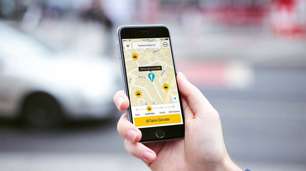
You can also find a taxi in Istanbul using the Uber app. You can also use bitaksi, which is also a similar and more popular application.
Read this article for other mobile apps for Istanbul that you can benefit from!
7. Rent a car
Driving around Istanbul is not always an enjoyable experience. In the morning and evening, the roads to the bridges connecting the two continents are often busy. If you want to travel between the two sides at these hours, use Marmaray or city line ferries. However, if you want to go to tourist areas outside of Istanbul, it makes sense to rent a car. Many international car rental companies are operating in Istanbul.
Your hire car can be collected from the airport so make sure the company has your flight details, so they know when you’re landing. Parking is available in many areas of Istanbul, but prices vary. To avoid a nasty surprise, choose the parking lot of the nearest shopping center or the Ispark car park in the area you’re visiting. Some shopping centres charge for parking, while others are free. You can get information about the prices when entering the shopping centre.
You can try rentalcars to be informed about prices and get good service. Rentalcars works with Istanbul branches of major car rental companies:
8. Ferry
The most enjoyable way to go from one side of Istanbul to the other is by ferry. In addition to City Line Ferries, smaller boats and sea taxis are available which also depart from near the ferry port. Both accept İstanbulkart. You can also use the ferry to avoid peak-time traffic on the roads. Visit the website for detailed information on the lines.
More Information
Website: sehirhatlari.istanbul
9. Apps
Uber (Just for the taxi)
Although there are no more Uber cars around Istanbul, you can still call for a cab with the app. The UBER app connects you with your nearest taxi driver. When calling UBER taxis, you can get detailed information about the driver, including their mobile number. You can see the route information and how much you will pay in advance and you can pay at the end of the journey either by credit card or cash. You can visit the internet site for detailed information about UBER which is also used in many countries and cities in the world.
Bitaksi
Bitaksi app allows you to call a taxi to your location. You can see detailed information about your driver before your journey, including their driver rating. The app is suitable for disabled travellers. You can see information about the route and how much you will pay, and you can pay by credit card in advance or after the trip. Visit the site to download the app.
More Information
Website: bitaksi.com
itaksi
itaksi app, like the other two apps, will call a taxi to your location and provide information about your driver. The itaksi is an Istanbul Metropolitan Municipality service. Since these apps may have promotional and payment facilities from time to time, it’s usually possible to download all apps and be notified of current promotions.
